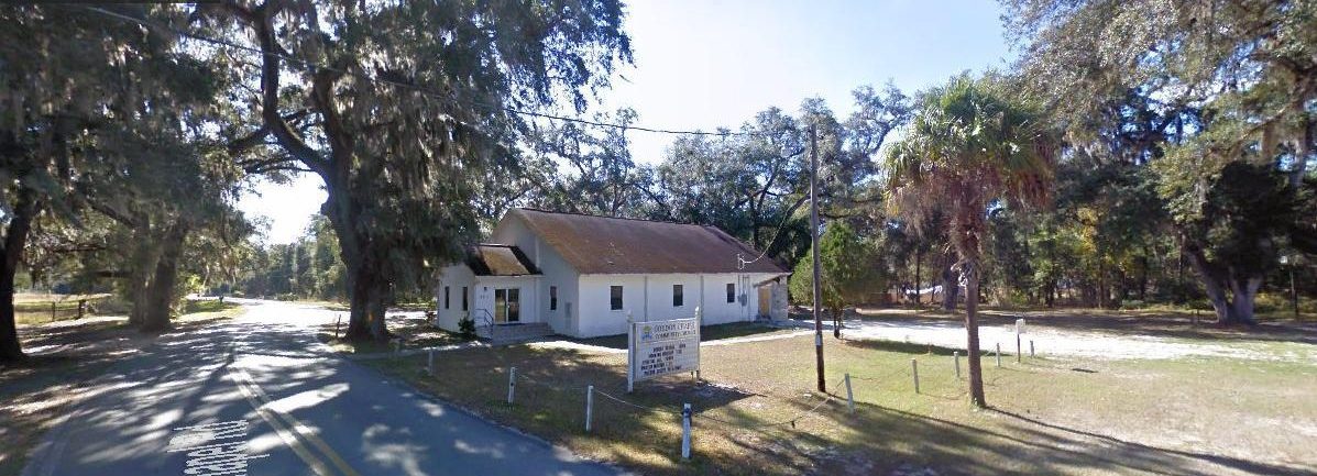
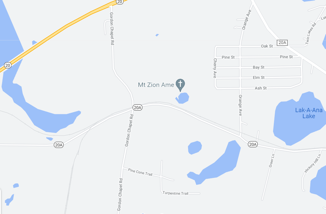
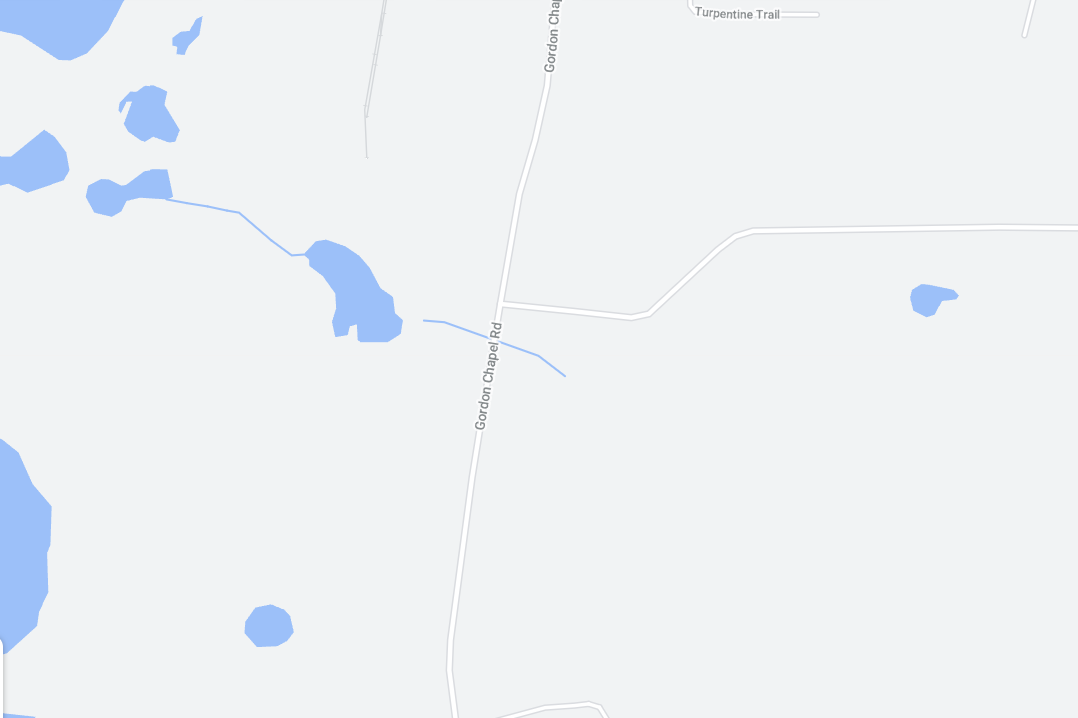
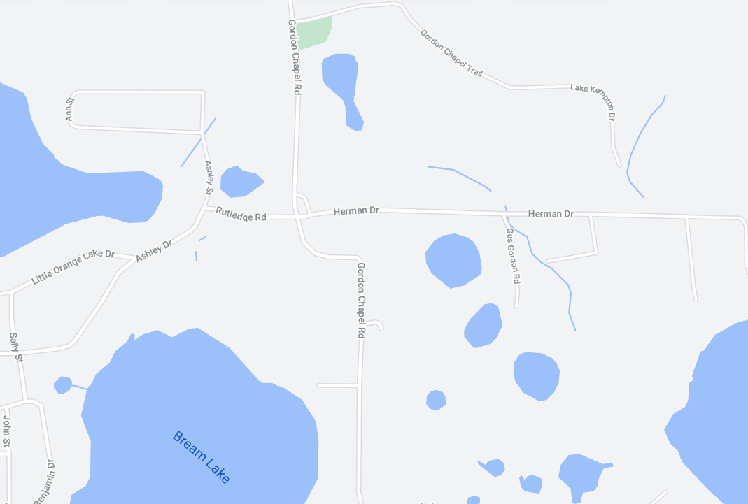
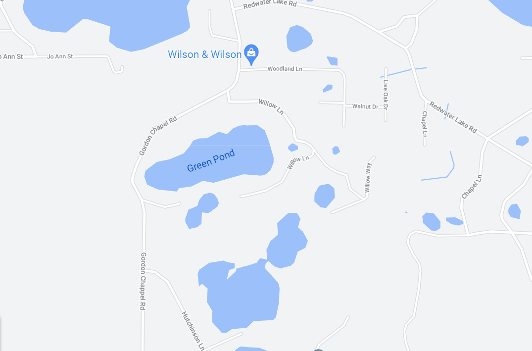
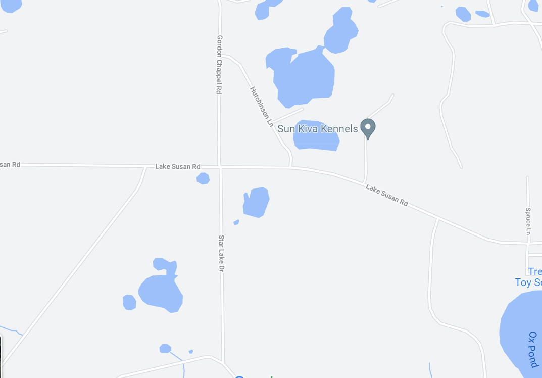
The following are maps showing the extent of Gordon Chapel Road, heading southbound. Family property surrounded this road by the hundreds of acres. In the third photo, you will also see Hutchinson Lane. (Hutchinsons are related to the Gordons). At its northernmost point, Gordon Chapel Road ends, as seen in the top image, turning into State Road 20, and at its southernmost end, Star Lake Road.
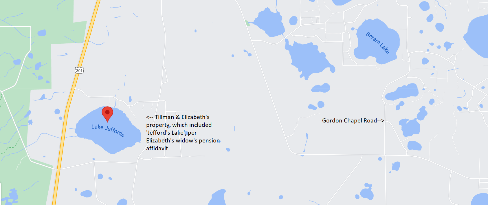
Per Elizabeth’s widow’s pension affidavit, her and Tillman’s property included Lake Jeffords. Gordon Chapel Road is to the far right of the following image.